
File:USACE Everett Lake and Dam.jpg

預覽大小:750 × 600 像素。 其他解析度:300 × 240 像素 | 600 × 480 像素 | 960 × 768 像素 | 1,280 × 1,024 像素 | 1,500 × 1,200 像素。
原始檔案 (1,500 × 1,200 像素,檔案大小:1.65 MB,MIME 類型:image/jpeg)
| 描述 |
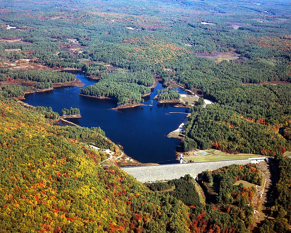
English: Everett Lake and Dam on the Piscataquog River in Merrimack County, New Hampshire, USA. The U.S. Army Corps of Engineers constructed the dam for flood control on the Piscataquog and Contoocook Rivers. |
|||
| 日期 | 1999年4月14日 (Date as given in the description, but the date seems unlikely given the autumn color in the landscape.) | |||
| 來源 |
U.S. Army Corps of Engineers Digital Visual Library Image page Image description page Digital Visual Library home page |
|||
| 作者 | U.S. Army Corps of Engineers, photographer not specified or unknown | |||
| 授權許可 (重用此檔案) |
|
| 拍攝地點 | | 位於此地的本圖片與其他圖片: OpenStreetMap |
|---|
檔案歷史
點選日期/時間以檢視該時間的檔案版本。
| 日期/時間 | 縮圖 | 尺寸 | 使用者 | 備註 | |
|---|---|---|---|---|---|
| 目前 | 2007年4月8日 (日) 19:22 | | 1,500 × 1,200(1.65 MB) | DanMS | {{Information | Description = {{en|Everett Lake and Dam on the Piscataquog River in Merrimack County, New Hampshire, USA. The U.S. Army Corps of Engineers constructed the dam for flood control on the Piscataquog and Contoocook Rivers.}} | Sourc |
檔案用途
下列頁面有用到此檔案:
全域檔案使用狀況
以下其他 wiki 使用了這個檔案:
- en.wikipedia.org 的使用狀況