
File:Blank-Map-Iran-With-Water-Bodies.PNG

預覽大小:652 × 600 像素。 其他解析度:261 × 240 像素 | 522 × 480 像素 | 895 × 823 像素。
原始檔案 (895 × 823 像素,檔案大小:28 KB,MIME 類型:image/png)
摘要
| 描述 |
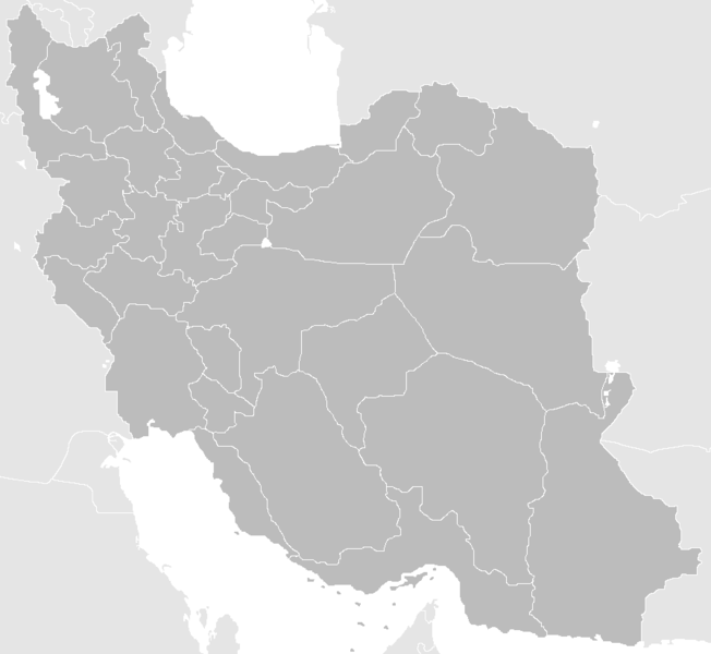
English: Blank Map of the territory claimed by Iran With Water Bodies and Neighbors فارسی: نقشه خالی ایران به همراه سرزمینهای آبی و کشورهای همسایه |
| 日期 | |
| 來源 | self-made adding water bodies and neighbors and applying some corrections and updates to a previous version Image:Blank-Map-Iran.PNG, which in turn was a corrected and updated version of Image:BlankMap-Iran.PNG created and uploaded by Shinas |
| 作者 | Siamax |
授權條款
| 此作品已由其作者,Siamax,釋出至公有領域。此授權條款在全世界均適用。 這可能在某些國家不合法,如果是的話: Siamax授予任何人有權利使用此作品於任何用途,除受法律約束外,不受任何限制。 |
檔案歷史
點選日期/時間以檢視該時間的檔案版本。
| 日期/時間 | 縮圖 | 尺寸 | 使用者 | 備註 | |
|---|---|---|---|---|---|
| 目前 | 2013年6月23日 (日) 11:33 | | 895 × 823(28 KB) | BasilLeaf | بروزرسانی استانهای یزد و خراسان جنوبی |
| 2010年11月12日 (五) 12:32 |  | 895 × 823(43 KB) | M samadi | Border of South & Razavi Khorasans updated. | |
| 2010年10月18日 (一) 05:07 |  | 895 × 823(46 KB) | Siamax | Alborz province added | |
| 2007年7月29日 (日) 22:01 |  | 895 × 823(46 KB) | Siamax | == Summary == {{Information |Description=Blank Map of Iran With Water Bodies and Neighbors |Source=self-made adding water bodies and neighbors and applying some corrections and updates to a previous version Image:Blank-Map-Iran.PNG, which in turn wa | |
| 2007年7月29日 (日) 18:39 |  | 895 × 823(46 KB) | Siamax | {{Information |Description=Blank Map of Iran With Water Bodies and Neighbors |Source=self-made adding water bodies and neighbors and applying some corrections and updates to a previous version Image:Blank-Map-Iran.PNG, which in turn was a corrected |
檔案用途
下列3個頁面有用到此檔案:
全域檔案使用狀況
以下其他 wiki 使用了這個檔案:
- ar.wikipedia.org 的使用狀況
- av.wikipedia.org 的使用狀況
- ba.wikipedia.org 的使用狀況
- bn.wikipedia.org 的使用狀況
- ce.wikipedia.org 的使用狀況
- ckb.wikipedia.org 的使用狀況
- diq.wikipedia.org 的使用狀況
- el.wikipedia.org 的使用狀況
- en.wikipedia.org 的使用狀況
- Iran
- Police Command of the Islamic Republic of Iran
- User:Siamax
- Template:Provinces of Iran Labelled Map
- User:Jonny-mt/Gallery of current first-level administrative country subdivisions maps
- Outline of Iran
- Administrative divisions of Iran
- Talk:Iran/Archive 11
- List of cities in Iran by province
- User:Reza1615/pdf2
- Borders of Iran
- User:Falcaorib/Mediterranean Basin, Near East and Middle East
- User:Amiyn
- eu.wikipedia.org 的使用狀況
- fa.wikipedia.org 的使用狀況
- fi.wikipedia.org 的使用狀況
- he.wikipedia.org 的使用狀況
- hi.wikipedia.org 的使用狀況
- hr.wikipedia.org 的使用狀況
- hu.wiktionary.org 的使用狀況
檢視此檔案的更多全域使用狀況。