
File:Spain location map with provinces.svg

此 SVG 檔案的 PNG 預覽的大小:699 × 600 像素。 其他解析度:280 × 240 像素 | 559 × 480 像素 | 895 × 768 像素 | 1,193 × 1,024 像素 | 2,387 × 2,048 像素 | 1,184 × 1,016 像素。
原始檔案 (SVG 檔案,表面大小:1,184 × 1,016 像素,檔案大小:3.01 MB)
摘要
| 描述 |
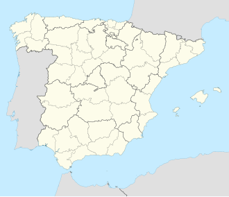
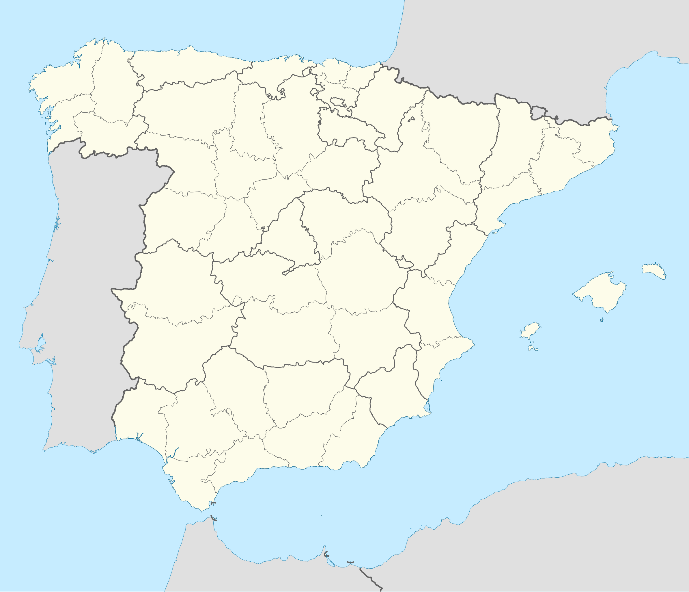
English: Location map of Spain
Equirectangular projection, N/S stretching 130 %. Geographic limits of the map:
Deutsch: Positionskarte von Spanien
Quadratische Plattkarte, N-S-Streckung 130 %. Geographische Begrenzung der Karte:
|
| 日期 | |
| 來源 |
我個人以下列物件為基礎來創作: ✦  Spain location map.svg 由 NNW Spain location map.svg 由 NNW✦  A Coruna in Spain.svg 由 TUBS A Coruna in Spain.svg 由 TUBS |
| 作者 | Roi González Villa (Vivaelcelta) |
| 其他版本 | 此檔案衍生的作品: Spain location map.svg |
| SVG開發 | 本向量圖形使用Adobe Illustrator創作NordNordWest, 以及使用 Inkscape. This Adobe SVG locator map is very large because NordNordWest kept the superfluous Adobe PGF or other CDATA garbage . |
授權條款
我,本作品的著作權持有者,決定用以下授權條款發佈本作品:

|
已授權您依據自由軟體基金會發行的無固定段落、封面文字和封底文字GNU自由文件授權條款1.2版或任意後續版本,對本檔進行複製、傳播和/或修改。該協議的副本列在GNU自由文件授權條款中。 |
此檔案採用創用CC 姓名標示-相同方式分享 3.0 未在地化版本授權條款。
- 您可以自由:
- 分享 – 複製、發佈和傳播本作品
- 重新修改 – 創作演繹作品
- 惟需遵照下列條件:
- 姓名標示 – 您必須指名出正確的製作者,和提供授權條款的連結,以及表示是否有對內容上做出變更。您可以用任何合理的方式來行動,但不得以任何方式表明授權條款是對您許可或是由您所使用。
- 相同方式分享 – 若要根據本素材進行再混合、轉換或創作,則必須以與原作相同或相容的授權來發布您的作品。
您可以選擇您需要的授權條款。
檔案歷史
點選日期/時間以檢視該時間的檔案版本。
| 日期/時間 | 縮圖 | 尺寸 | 使用者 | 備註 | |
|---|---|---|---|---|---|
| 目前 | 2025年5月20日 (二) 17:54 | | 1,184 × 1,016(3.01 MB) | Fernando | Reverted to version as of 18:40, 23 September 2019 (UTC). Reverted to the proper SVG file. The inclusion of the Canary islands do not belong here as this map is used for geotagging with coordinates. Another map with the islands can be found here: File:España-Canarias-loc.svg |
| 2024年11月21日 (四) 19:34 |  | 1,579 × 1,355(356 KB) | Lopezsuarez | Reverted to version as of 11:35, 9 March 2018 (UTC) | |
| 2019年9月23日 (一) 18:40 |  | 1,184 × 1,016(3.01 MB) | Jonteemil | Reverted to version as of 07:14, 25 August 2014 (UTC) The version with the Canary islands shown was a so-called fake SVG and then it's better with a proper SVG without the Canary islands | |
| 2018年3月9日 (五) 11:35 |  | 1,579 × 1,355(356 KB) | Brgesto | Added Canary Islands | |
| 2014年8月25日 (一) 07:14 |  | 1,184 × 1,016(3.01 MB) | Vivaelcelta | User created page with UploadWizard |
檔案用途
下列頁面有用到此檔案:
全域檔案使用狀況
以下其他 wiki 使用了這個檔案:
- ace.wikipedia.org 的使用狀況
- af.wikipedia.org 的使用狀況
- Cadaqués
- Alt Empordà
- Almazán
- Ágreda
- San Leonardo de Yagüe
- Abejar
- Adradas
- Alconaba
- Alcubilla de las Peñas
- Aldealafuente
- Alcubilla de Avellaneda
- Aldealices
- Almajano
- Yelo
- Aldealpozo
- Aldealseñor
- Alentisque
- Aliud
- Almaluez
- Almarza
- Cubilla
- Covaleda
- Ciria
- Cigudosa
- Dévanos
- Cihuela
- Coscurita
- Barca
- Nepas
- Nolay
- Noviercas
- Liceras
- La Losilla
- Portillo de Soria
- Oncala
- Ólvega
- Rioseco de Soria
- La Riba de Escalote
- Renieblas
- Quintana Redonda
- Los Rábanos
- Recuerda
- Rebollar
- Almazul
- Baraona
- Blacos
- Calatañazor
- Candilichera
檢視此檔案的更多全域使用狀況。