
File:Spain location map with provinces.svg

此SVG文件的PNG预览的大小:699 × 600像素。 其他分辨率:280 × 240像素 | 559 × 480像素 | 895 × 768像素 | 1,193 × 1,024像素 | 2,387 × 2,048像素 | 1,184 × 1,016像素。
原始文件 (SVG文件,尺寸为1,184 × 1,016像素,文件大小:3.01 MB)
摘要
| 描述 |
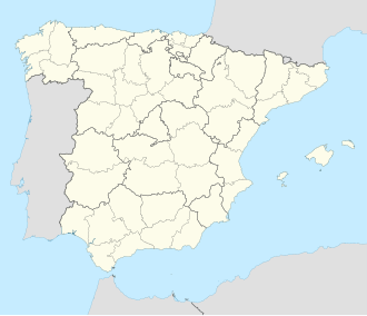
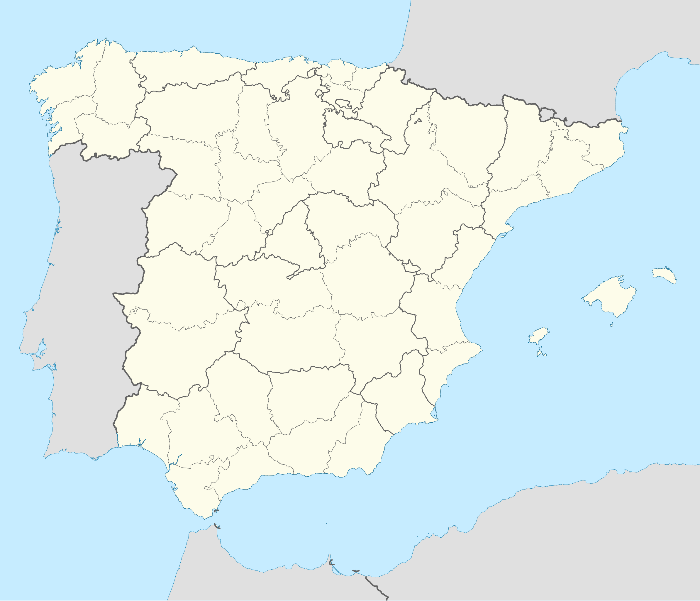
English: Location map of Spain
Equirectangular projection, N/S stretching 130 %. Geographic limits of the map:
Deutsch: Positionskarte von Spanien
Quadratische Plattkarte, N-S-Streckung 130 %. Geographische Begrenzung der Karte:
|
| 日期 | |
| 来源 |
基于如下对象的个人作品: ✦  Spain location map.svg 由 NNW Spain location map.svg 由 NNW✦  A Coruna in Spain.svg 由 TUBS A Coruna in Spain.svg 由 TUBS |
| 作者 | Roi González Villa (Vivaelcelta) |
| 其他版本 | 此文件衍生的作品: Spain location map.svg |
| SVG开发 | 本W3C无效的地图由NordNordWest使用Adobe Illustrator创作, 以及使用 Inkscape. This Adobe SVG locator map is very large because NordNordWest kept the superfluous Adobe PGF or other CDATA garbage . |
许可协议
我,本作品著作权人,特此采用以下许可协议发表本作品:

|
已授权您依据自由软件基金会发行的无固定段落及封面封底文字(Invariant Sections, Front-Cover Texts, and Back-Cover Texts)的GNU自由文件许可协议1.2版或任意后续版本的条款,复制、传播和/或修改本文件。该协议的副本请见“GNU Free Documentation License”。 |
本文件采用知识共享署名-相同方式共享 3.0 未本地化版本许可协议授权。
- 您可以自由地:
- 共享 – 复制、发行并传播本作品
- 修改 – 改编作品
- 惟须遵守下列条件:
- 署名 – 您必须对作品进行署名,提供授权条款的链接,并说明是否对原始内容进行了更改。您可以用任何合理的方式来署名,但不得以任何方式表明许可人认可您或您的使用。
- 相同方式共享 – 如果您再混合、转换或者基于本作品进行创作,您必须以与原先许可协议相同或相兼容的许可协议分发您贡献的作品。
您可以选择您需要的许可协议。
文件历史
点击某个日期/时间查看对应时刻的文件。
| 日期/时间 | 缩略图 | 大小 | 用户 | 备注 | |
|---|---|---|---|---|---|
| 当前 | 2025年5月20日 (二) 17:54 | | 1,184 × 1,016(3.01 MB) | Fernando | Reverted to version as of 18:40, 23 September 2019 (UTC). Reverted to the proper SVG file. The inclusion of the Canary islands do not belong here as this map is used for geotagging with coordinates. Another map with the islands can be found here: File:España-Canarias-loc.svg |
| 2024年11月21日 (四) 19:34 |  | 1,579 × 1,355(356 KB) | Lopezsuarez | Reverted to version as of 11:35, 9 March 2018 (UTC) | |
| 2019年9月23日 (一) 18:40 |  | 1,184 × 1,016(3.01 MB) | Jonteemil | Reverted to version as of 07:14, 25 August 2014 (UTC) The version with the Canary islands shown was a so-called fake SVG and then it's better with a proper SVG without the Canary islands | |
| 2018年3月9日 (五) 11:35 |  | 1,579 × 1,355(356 KB) | Brgesto | Added Canary Islands | |
| 2014年8月25日 (一) 07:14 |  | 1,184 × 1,016(3.01 MB) | Vivaelcelta | User created page with UploadWizard |
文件用途
以下页面使用本文件:
全域文件用途
以下其他wiki使用此文件:
- ace.wikipedia.org上的用途
- af.wikipedia.org上的用途
- Cadaqués
- Alt Empordà
- Almazán
- Ágreda
- San Leonardo de Yagüe
- Abejar
- Adradas
- Alconaba
- Alcubilla de las Peñas
- Aldealafuente
- Alcubilla de Avellaneda
- Aldealices
- Almajano
- Yelo
- Aldealpozo
- Aldealseñor
- Alentisque
- Aliud
- Almaluez
- Almarza
- Cubilla
- Covaleda
- Ciria
- Cigudosa
- Dévanos
- Cihuela
- Coscurita
- Barca
- Nepas
- Nolay
- Noviercas
- Liceras
- La Losilla
- Portillo de Soria
- Oncala
- Ólvega
- Rioseco de Soria
- La Riba de Escalote
- Renieblas
- Quintana Redonda
- Los Rábanos
- Recuerda
- Rebollar
- Almazul
- Baraona
- Blacos
- Calatañazor
- Candilichera
查看此文件的更多全域用途。