
File:Huntington-village-map-ny.gif
此为最大尺寸。
Huntington-village-map-ny.gif (575 × 425像素,文件大小:67 KB,MIME类型:image/gif)
摘要
| 描述 |
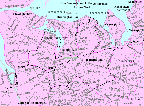
English: Huntington map from U.S. Census |
| 来源 | US gov |
| 作者 | U.S. Census Bureau |
许可协议
This image or file is a work of a United States Census Bureau employee, taken or made as part of that person's official duties. As a work of the U.S. federal government, the image is in the public domain.
|
 |
原始上传日志
The original description page was here. All following user names refer to en.wikipedia.
| 日期/时间 | 大小 | 用户 | 备注 |
|---|---|---|---|
| 2007-11-26 03:14 | 575×425× (68779 bytes) | Americasroof | [[Huntington, New York]] map from U.S. Census |
文件历史
点击某个日期/时间查看对应时刻的文件。
| 日期/时间 | 缩略图 | 大小 | 用户 | 备注 | |
|---|---|---|---|---|---|
| 当前 | 2018年8月13日 (一) 03:39 | | 575 × 425(67 KB) | Innotata | Transferred from en.wikipedia via #commonshelper |
文件用途
以下页面使用本文件:
全域文件用途
以下其他wiki使用此文件:
- azb.wikipedia.org上的用途
- ca.wikipedia.org上的用途
- en.wikipedia.org上的用途
- es.wikipedia.org上的用途
- eu.wikipedia.org上的用途
- fa.wikipedia.org上的用途
- fr.wikipedia.org上的用途
- tt.wikipedia.org上的用途
- ur.wikipedia.org上的用途
- vo.wikipedia.org上的用途
- www.wikidata.org上的用途