
File:USACE Everett Lake and Dam.jpg

本预览的尺寸:750 × 600像素。 其他分辨率:300 × 240像素 | 600 × 480像素 | 960 × 768像素 | 1,280 × 1,024像素 | 1,500 × 1,200像素。
原始文件 (1,500 × 1,200像素,文件大小:1.65 MB,MIME类型:image/jpeg)
| 描述 |
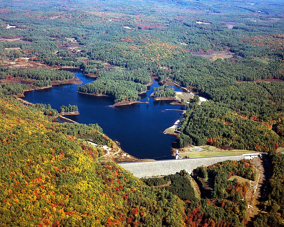
English: Everett Lake and Dam on the Piscataquog River in Merrimack County, New Hampshire, USA. The U.S. Army Corps of Engineers constructed the dam for flood control on the Piscataquog and Contoocook Rivers. |
|||
| 日期 | 1999年4月14日 (Date as given in the description, but the date seems unlikely given the autumn color in the landscape.) | |||
| 来源 |
U.S. Army Corps of Engineers Digital Visual Library Image page Image description page Digital Visual Library home page |
|||
| 作者 | U.S. Army Corps of Engineers, photographer not specified or unknown | |||
| 授权 (二次使用本文件) |
|
| 相机位置 | | 在以下服务上查看本图像和附近其他图像: OpenStreetMap |
|---|
文件历史
点击某个日期/时间查看对应时刻的文件。
| 日期/时间 | 缩略图 | 大小 | 用户 | 备注 | |
|---|---|---|---|---|---|
| 当前 | 2007年4月8日 (日) 19:22 | | 1,500 × 1,200(1.65 MB) | DanMS | {{Information | Description = {{en|Everett Lake and Dam on the Piscataquog River in Merrimack County, New Hampshire, USA. The U.S. Army Corps of Engineers constructed the dam for flood control on the Piscataquog and Contoocook Rivers.}} | Sourc |
文件用途
以下页面使用本文件:
全域文件用途
以下其他wiki使用此文件:
- en.wikipedia.org上的用途