
File:Grenada location map.svg

此SVG文件的PNG预览的大小:634 × 599像素。 其他分辨率:254 × 240像素 | 508 × 480像素 | 813 × 768像素 | 1,084 × 1,024像素 | 2,167 × 2,048像素 | 1,435 × 1,356像素。
原始文件 (SVG文件,尺寸为1,435 × 1,356像素,文件大小:134 KB)
摘要
| 描述 |
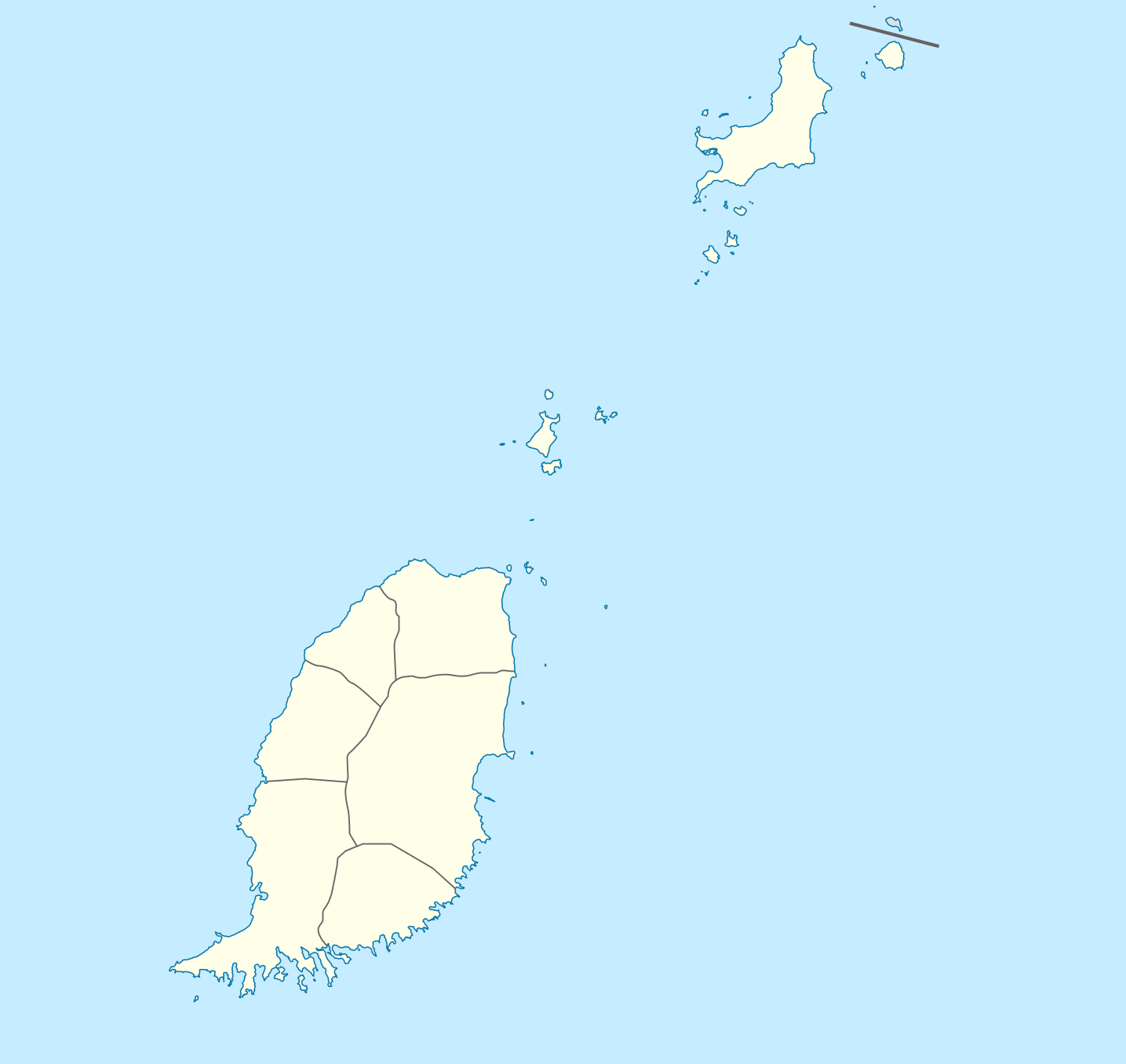
Deutsch: Positionskarte von Grenada
Geographische Begrenzung der Karte:
English: Location map of Grenada
Geographic limits of the map:
|
||||||||||||
| 日期 | |||||||||||||
| 来源 | 自己的作品 | ||||||||||||
| 作者 | NordNordWest | ||||||||||||
| 授权 (二次使用本文件) |
|

|
|
文件历史
点击某个日期/时间查看对应时刻的文件。
| 日期/时间 | 缩略图 | 大小 | 用户 | 备注 | |
|---|---|---|---|---|---|
| 当前 | 2009年12月18日 (五) 19:56 | | 1,435 × 1,356(134 KB) | NordNordWest | == {{int:filedesc}} == {{Information |Description= {{de|Positionskarte von Grenada}} Geographische Begrenzung der Karte: * N: 12.55° N * S: 11.95° N * W: 61.9° W * O: 61.25° W {{en|Location map of Grenada}} Geographic l |
文件用途
以下13个页面使用本文件:
全域文件用途
以下其他wiki使用此文件:
- af.wikipedia.org上的用途
- an.wikipedia.org上的用途
- ar.wikipedia.org上的用途
- ast.wikipedia.org上的用途
- San Xurde (Granada)
- Módulu:Mapa de llocalización/datos/Granada
- Aeropuertu Internacional Maurice Bishop
- Aeropuertu Lauriston
- Aeropuertu Pearls
- Módulu:Mapa de llocalización/datos/Granada/usu
- Islla Ronde
- Hillsborough (Granada)
- Carriacou
- Monte Saint Catherine
- Victoria (Granada)
- Gouyave
- Estadiu Atléticu Kirani James
- Grand Roy
- Pequeña Martinica
- ba.wikipedia.org上的用途
- be-tarask.wikipedia.org上的用途
- be.wikipedia.org上的用途
- bg.wikipedia.org上的用途
- bn.wikipedia.org上的用途
- bs.wikipedia.org上的用途
- ceb.wikipedia.org上的用途
查看此文件的更多全域用途。